What Are Mesh Blocks & How Are They Used in Real Estate
In this article, we explore what Mesh Blocks are, how they are structured and their use in real estate and proptech.
Table of Contents
Jump ahead ↓
What are Mesh Blocks?
As defined by Australian Bureau of Statistics (ABS), mesh blocks are the smallest geographical area of the Australian Statistical Geography Standard (ASGS) and ABS’s classification of Australia into a hierarchy of statistical areas.
Mesh Blocks are essentially a set of geographic boundaries designed to segment Australia into very small areas. These boundaries are used to apply a systematic grid over the entire country, dividing it into tiny sections called Mesh Blocks.
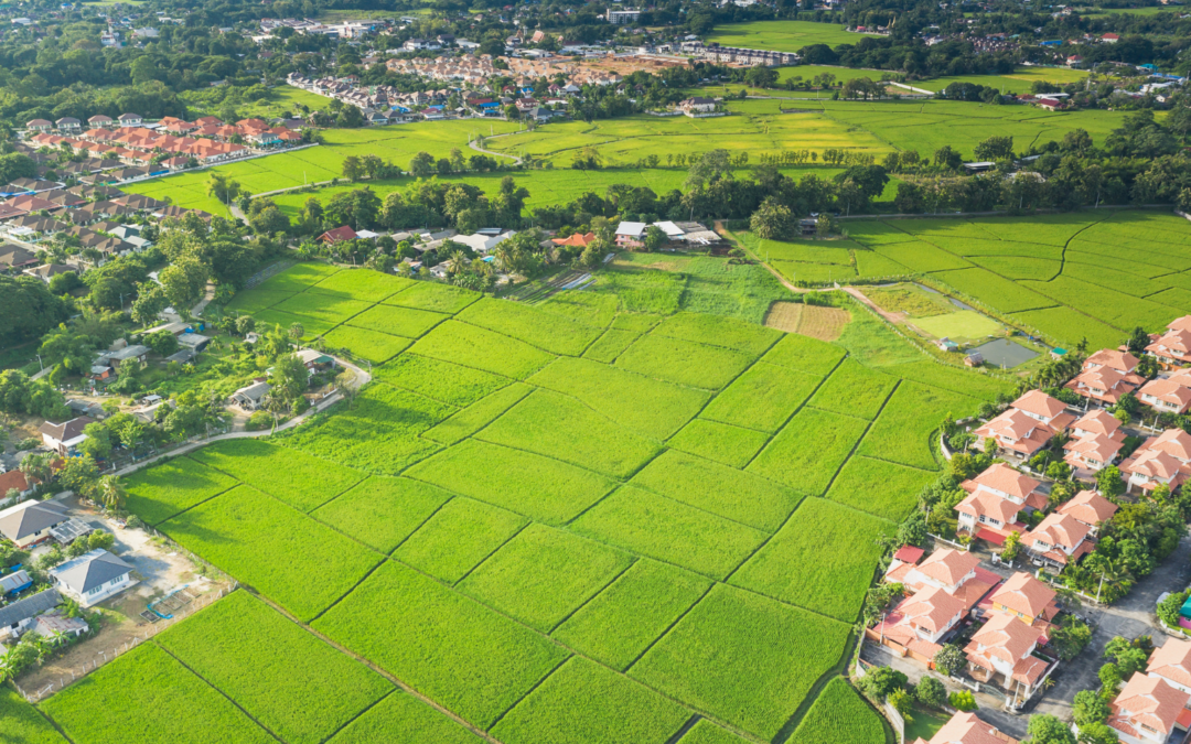
Each Mesh Block is a polygon that outlines a specific piece of land, which can range from a single block in a city to a vast, sparsely populated area in the countryside.

Mesh Blocks covering the whole of Australia. Source: ABS Maps
Mesh Block design
Mesh Blocks for the current ASGS Edition 3 are designed according to a standard set of design criteria first developed for ASGS 2011.
Most Mesh Blocks are designed to contain 30 to 60 dwellings, although some low dwelling count Mesh Blocks exist. They are permitted in order to account for other design criteria.
The reasons for the minimum dwelling count of Mesh Blocks is so they’re small enough to aggregate to a wide range of areas, allow comparisons between geographic regions but also prevent accidentally exposing confidential information of individuals or businesses.
Mesh Block changes
Mesh Blocks are updated (or redesigned) every 5 years to stay relevant.
Mesh Blocks for the current ASGS Edition 3 was redesigned to ensure it still meets the design criteria first developed for ASGS 2011 and reflects the growth and change in Australia’s population, economy and infrastructure.

Example of Mesh Block change along the border of Queensland and New South Wales. Source: Australian Bureau of Statistics
How are Mesh Blocks created?
Each Mesh Block is assigned a unique numerical code or identifier. This code is used to reference the Mesh Block in statistical databases and geographic information systems (GIS).
The format of the code can vary but often includes digits that signify hierarchical levels of geography.
In Australia, Mesh Block identifiers are 11-digit codes.
The 11-digit Mesh Block code comprises: State and Territory identifier (1 digit), and a Mesh Block identifier (10 digits).
How are Mesh Blocks used?
The ABS does not and cannot provide detailed segmentation data (Census data) that can be directly connected to individuals or businesses. Instead, they provide anonymised and aggregated data against geographic areas. Mesh Blocks are the smallest geographic area that the ABS provide statistics against, so it offers population and dwelling counts at a hyper-local level – this is particularly useful for Census analysis.
These geographic boundaries allow for the aggregation of data from individual Mesh Blocks into larger geographic units, such as suburbs, towns, cities, and regions. This hierarchical structuring makes it possible to analyse data at various levels, from very detailed local information to broader regional or national trends.
Most businesses, including proptechs, looking to augment their analysis with population segmentation data will adopt Mesh Blocks as their default level geographic unit to gain the highest level of accuracy. The popularity of Mesh Blocks mean many businesses will use it for geographic statistics regardless of whether or not the Census data is being used.
What role do Mesh Blocks play in proptech?
Mesh Blocks play a vital role in Proptech, geospatial data, and the real estate industry in Australia. Some example uses include:
Granular geographical data
Since Mesh Blocks are the smallest geographical units, providing a granular level of detail in geographic data, its precision is valuable for analysing real estate trends at a hyper-local level.
Accurate small area statistics
Mesh Blocks are designed to fulfill the need for accurate small area statistics. In Proptech, having precise data at this level is instrumental for understanding localised property markets, demographics, and trends.
Spatial mapping and analysis
Geospatial data, including Mesh Blocks, facilitates spatial mapping and analysis. Proptech platforms can leverage this data to visualise and analyse property-related information, helping users make more informed decisions based on geographical insights.
Enhanced property valuation
Proptech applications can utilise Mesh Blocks to refine property valuation models. The data on dwellings and residents at this level allows for a more nuanced understanding of property values, considering localised factors.
Land use identification
Mesh blocks broadly identify land use, such as residential, commercial, industrial, parkland, and so forth. Land use information is valuable for proptechs involved in property development, urban planning, and investment strategies.
Targeted marketing and outreach
Proptech businesses can use Mesh Block data to tailor marketing and outreach strategies to specific geographical areas. Understanding the demographics and dwelling counts at this level allows for targeted and effective location-based campaigns.
Census-driven insights
The inclusion of Census data within Mesh Blocks, such as the count of usual residents and dwelling types, provides proptech platforms with up-to-date demographic information. This can aid market analysis, customer profiling, and investment strategies.
Integration with digital boundary files
The availability of Mesh Block boundaries in digital boundary files enhances their usability in Proptech applications. These files can be readily integrated into geospatial systems, making it easier for developers and analysts to work with this geographical data.
The foundational building blocks in real estate
Mesh Blocks are foundational building blocks for geospatial and proptech applications, providing granularity and accuracy for understanding local real estate markets, demographics and land use.
To aid proptechs, The Proptech Cloud offers its Geography – Boundaries & Insights dataset which includes all mesh blocks and their spatial areas for analysis and location-based visualisation of statistics.
The integration of this important information can enhance the precision and relevance of analyses within the proptech and real estate sectors. Read our following blog to learn how to incorporate Mesh Blocks into datasets.
How to Incorporate Mesh Blocks into Datasets
Incorporating mesh blocks into datasets involves several steps to ensure seamless integration and effective utilisation of geographical information. Here’s a guide on how to incorporate mesh blocks into datasets.
Subscribe to our newsletter
Subscribe to receive the latest blogs and data listings direct to your inbox.