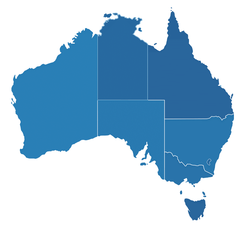
AUSTRALIA
Geography
Boundaries & Insights
From The Proptech Cloud
This data listing allows users to analyse and visualise statistics based on location.

Data Overview
Australian Bureau of Statistics (ABS)
The Australian Statistical Geography Standard (ASGS) is a classification of Australia into a hierarchy of statistical areas. It is a social geography, developed to reflect the location of people and communities. It is used for the publication and analysis of official statistics and other data. The ASGS is updated every 5 years to account for growth and change in Australia’s population, economy and infrastructure.
Mesh Blocks
Mesh Blocks (MBs) are the smallest geographic areas defined by the ABS and form the building blocks for the larger regions of the ASGS. Most Mesh Blocks contain 30 to 60 dwellings.
ASGS Edition 3
ASGS Edition 3 was used for the 2021 Census of Population and Housing, and will be progressively introduced into other ABS data collections from 2022. ASGS Edition 3 is an update of ASGS Edition 2 (2016).
Statistical Areas Level 1 (SA1s)
Statistical Areas Level 1 (SA1s) are designed to maximise the geographic detail available for Census of Population and Housing data while maintaining confidentiality. Most SA1s have a population of between 200 to 800 people.
Statistical Areas Level 2 (SA2s)
Statistical Areas Level 2 (SA2s) are medium-sized general purpose areas built to represent communities that interact together socially and economically. Most SA2s have a population range of 3,000 to 25,000 people.
Statistical Areas Level 3 (SA3s)
Statistical Areas Level 3 (SA3s) are designed for the output of regional data and most have populations between 30,000 and 130,000 people.
Statistical Areas Level 4 (SA4s)
Statistical Areas Level 4 (SA4s) are designed for the output of a variety of regional data, and represent labour markets and the functional area of Australian capital cities. Most SA4s have a population of over 100,000 people.
Schemas available:
– GEOGRAPHY_AUS_FREE contains the Australian Bureau of Statistic’s ASGS data for both GDA94 and GDA2020 datums
Tables available:
– ABS_MB_2021_AUST_GDA94:
– ABS_SA1_2021_AUST_GDA94:
– ABS_SA2_2021_AUST_GDA94:
– ABS_SA3_2021_AUST_GDA94:
– ABS_SA4_2021_AUST_GDA94:
– ABS_MB_2021_AUST_GDA2020:
– ABS_SA1_2021_AUST_GDA2020:
– ABS_SA2_2021_AUST_GDA2020:
– ABS_SA3_2021_AUST_GDA2020:
– ABS_SA4_2021_AUST_GDA2020:
Each table contains:
– GEOMETRY – the datum is part of the table name
– GCCSA_CODE_2021 – Greater Capital City Statistical Area Code
– GCCSA_NAME_2021 – Greater Capital City Statistical Area Name
– STATE_CODE_2021
– STATE_NAME_2021
– the code hierarchy for geography
Nomenclature
Table names have the format <data type>_<2021>_<AUST>_<GDA> where:
<data type> represents the type of boundaries in each table
MB = Mesh Block
SA1 = Statistical Area Level 1
SA2 = Statistical Area Level 2
SA3 = Statistical Area Level 3
SA4 = Statistical Area Level 4
GCCSA = Greater Capital City Statistical Area
STE = State and Territory
AUS = Australia
<2021> represents 2021 the year of the Australian Statistical Geography Standard (ASGS) Edition 3
<AUST> indicates the data covers all of Australia
<GDA> indicates the Geocentric Datum of Australia used, and may equal GDA94 or GDA2020
Cloud Region Availability
US West (Oregon)
Canada (Central)
US East (N. Virginia)
US East (Ohio)
US East (Commercial Gov - N. Virginia)
US Gov East 1 (Fedramp High Plus)
US Gov West 1
US Gov West 1 (DoD)
US Gov West 1 (Fedramp High Plus)
Asia Pacific (Jakarta)
Asia Pacific (Mumbai)
Asia Pacific (Osaka)
Asia Pacific (Seoul)
Asia Pacific (Singapore)
Asia Pacific (Sydney)
Asia Pacific (Tokyo)
EU (Frankfurt)
EU (Ireland)
EU (London)
EU (Stockholm)
EU (Zurich)
EU (Paris)
South America (São Paulo)
Canada Central (Toronto)
Central US (Iowa)
East US 2 (Virginia)
South Central US (Texas)
US Gov Virginia
US Gov Virginia (FedRAMP) High Plus
West US 2 (Washington)
Australia East (New South Wales)
Central India (Pune)
Japan East (Tokyo, Saitama)
Southeast Asia (Singapore)
UAE North (Dubai)
North Europe (Ireland)
Switzerland North (Zurich)
UK South (London)
West Europe (Netherlands)
US Central 1 (Iowa)
US East 4 (N. Virginia)
Europe West 2 (London)
Europe West 4 (Netherlands)
Category
Geospatial
Refreshes
Static
Access
Free, unlimited access
Geographic Coverage
Australia (by Postal Code)

