What is a Cadastre?
Cadastres are used extensively in real estate and beyond. We break down what they are, how they’re stored, used and maintained in Australia.
What is a cadastre?
A cadastre is a comprehensive register or database that captures detailed information about real estate or land within a specific jurisdiction; with each cadastral record defining its respective boundary, as determined by cadastral surveying. Important attributes such as property location, characteristics, and value are also included in a cadastre.
Essentially, it serves as a vital legal and administrative tool for managing and regulating land ownership and usage, while also used for collecting property taxes, assessing land values, and resolving any disputes related to properties. It typically contains property boundaries, ownership details, and physical descriptions, such as size, shape, and topography. It may even encompass additional information pertaining to land use, zoning regulations, building permits, and environmental regulations.
Which file types are typically used to store a cadastre?
These file types are commonly used to store a cadastre:
- Shape file (.shp)
- GDB (.gdb)
- Geojson (.geojson)
File sizes of cadastre files can become quite large, depending on the extent of the coverage.
For example, the cadastre for New South Wales (NSW) in Australia is approximately 1.4 GB when compressed. Working with large files can be more manageable in cloud environments like Amazon Web Services (AWS). These cloud platforms provide substantial computing power that can be accessed when needed, then switched off in a pay-per-use model to more efficiently handle the processing requirements of large cadastre files.
Primarily spatial files, they contain geometry data that represents the boundaries of each land parcel within the cadastre. The geometry information can be stored and represented in various text formats, which are universally understood by spatial data software applications.
The most common approaches for storing and representing the geometries are
which ensure compatibility and ease of interpretation across different software tools and platforms.
Additional attributes relating to the cadastre can also be served within the same spatial file, such as through the properties key within a cadastre’s GeoJSON document. Other formats such as WKT or WKB do not support the direct inclusion of additional attributes to the geometry, but can be associated with in different ways such as in an accompanying csv file containing any additional attributes.
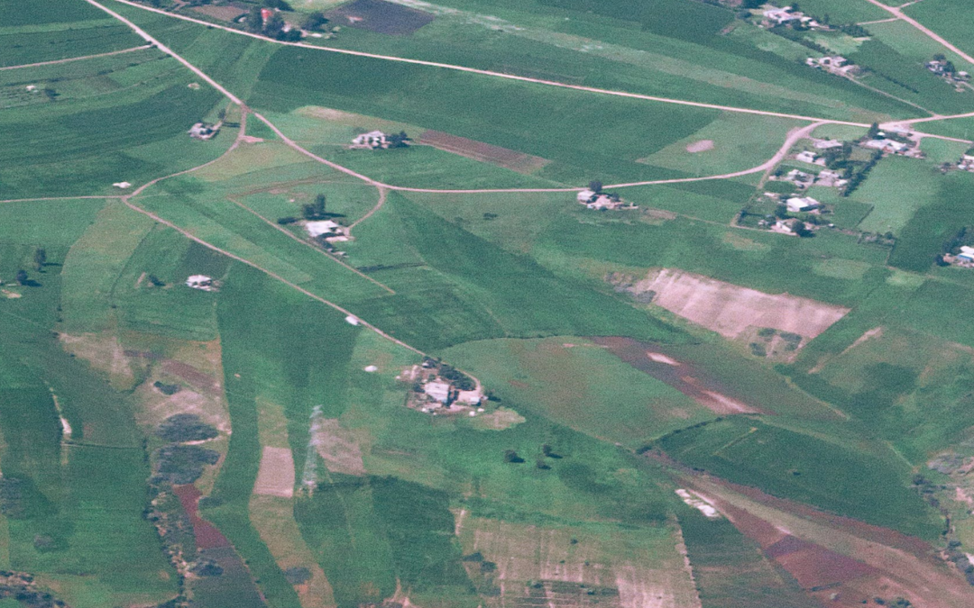
What does a cadastre look like on a map?
The way a cadastre is represented on a map can vary significantly depending on the source of the data and the configuration settings used in the mapping software. Different factors like styling, symbols, and labeling options can influence how the cadastre appears visually on the map.
The following image is a typical representation of cadastre on a map, showing boundary lines that delineate the various land parcels or lots. These boundary lines help visually separate one property from another. While lot numbers are used as an identifying label to provide a quick reference to specific parcels within the cadastre.

How does a cadastre look in a Snowflake Marketplace listing?
To incorporate a cadastre into Snowflake, it needs to be transformed into a table structure. The process involves loading the cadastre data in the form of GeoJson as a VARIANT data type in Snowflake. Then the GeoJson features are flattened and converted into individual rows within the table.
Alternatively, the cadastre file can be converted to a flat file outside of Snowflake, then loaded into Snowflake as you would with any other flat file.
This flattening process makes it easier to query and analyse the cadastre data using standard SQL operations within Snowflake, allowing for efficient storage, retrieval, and analysis of the information.
| Attribute {A} | Attribute {B} | Attribute {C} | Geometry |
| 1 | 2 | 3 | POLYGON((30 10, 40 40, 20 40, 10 20, 30 10)) |
*The actual columns (feature attributes) available for each piece of land registered on a cadastre is dependent on the maintainer/publisher of the cadastre.
Australian cadastres
In Australia, individual state and territory governments are responsible for the maintenance of cadastres, rather than the federal government.
Each state and territory has its own land administration agency responsible for maintaining cadastres within their jurisdiction.
The following organisations maintain cadastres:
- Australian Capital Territory (ACT), the cadastre is maintained by the ACT Environment, Planning and Sustainable Development Directorate (EPSDD). The EPSDD is responsible for the management of land-related information and services in the ACT, including the cadastre, which is known as the ACT Planning and Land Authority (ACTPLA) Land Information System.
- New South Wales (NSW), the cadastre is maintained by the NSW Land Registry Services, which is a statutory authority responsible for managing the state’s land titles system.
- Northern Territory (NT), the cadastre is maintained by the NT Department of Infrastructure, Planning and Logistics (DIPL). DIPL is responsible for land administration in the NT, including the management of land information and the maintenance of the cadastre.
- Queensland (QLD), it is maintained by the Department of Natural Resources, Mines and Energy (DNRME).
- South Australia (SA), the cadastre is maintained by the Land Services SA, which is an agency of the South Australian government. Land Services SA is responsible for the management of land titles, property information, and the cadastre within the state.
- Tasmania (TAS), the cadastre is maintained by the Department of Primary Industries, Parks, Water and Environment (DPIPWE). DPIPWE is responsible for the management of land information, land titles, and the cadastre within the state.
- Victoria (VIC), the cadastre is maintained by the Department of Environment, Land, Water and Planning (DELWP).
- Western Australia (WA), the cadastre is maintained by Landgate, which is a statutory authority responsible for the management of land information and land-related services within the state.
These agencies are responsible for updating and managing the cadastre, including recording changes to property ownership, boundaries, and other relevant information. They also provide access to the cadastre and related services to the public, including title searches, property reports, and other land-related information.
Who provides cadastres on Snowflake Marketplace?
- The Proptech Cloud
- Geoscape
- Precisely
What would a cadastre be used for?
Cadastres can be used to:
- Identify the unique number of properties in a country,
- Identify changes to properties (merges, subdivisions, title registrations),
- Spatially link other spatial information to a property,
- Spatially lookup a property based, i.e. lookup properties based on latitude and longitude coordinates, or based on geospatial shape (think drawing a circle on map to search for properties on the map),
- Represent property boundaries on a map.