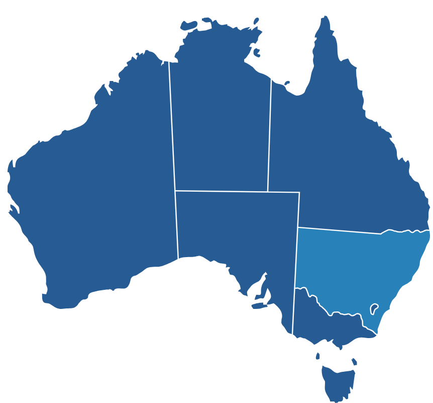
AUSTRALIA
Land Use in New South Wales (NSW)
From Archistar
A detailed representation of zoning designations and regulations across the state of New South Wales (NSW), Australia.

Data Overview
Archistar’s coverage of Land Use Zoning boundaries provides a detailed representation of zoning designations and regulations across the entire state of New South Wales (NSW), Australia.
In NSW Australia, land use zones are categorised into land and property classifications, outlining what can be built and how the land can be used in each category. These zones are part of the Local Environmental Plans (LEPs) that local councils use to manage land use within their jurisdictions. They are intended to ensure that land use is appropriate for its location, environmental factors, and the needs of the community.
All boundaries in this data set are represented in GDA94.
Schemas available:
– ARCHISTAR: The single schema for all Archistar Snowflake Marketplace listings
Tables available:
– ZONING_NSW_SAMPLE: Contains the Archistar site boundaries, in GDA94 form, for the Sydney region, along with the relevant Land Use Zone codes and descriptions.
Attributes
- Data updated quarterly
- Data for Australia at latitude and longitude level
- New South Wales (NSW)
- Council Land Use & Planning
- GDA94
- Zoning

Business Needs
Location Planning
If you're considering a specific property or development in NSW, it's also essential to check the local council's local environmental plan (LEP), which provides detailed rules and guidelines for each land use zone within that council area.
