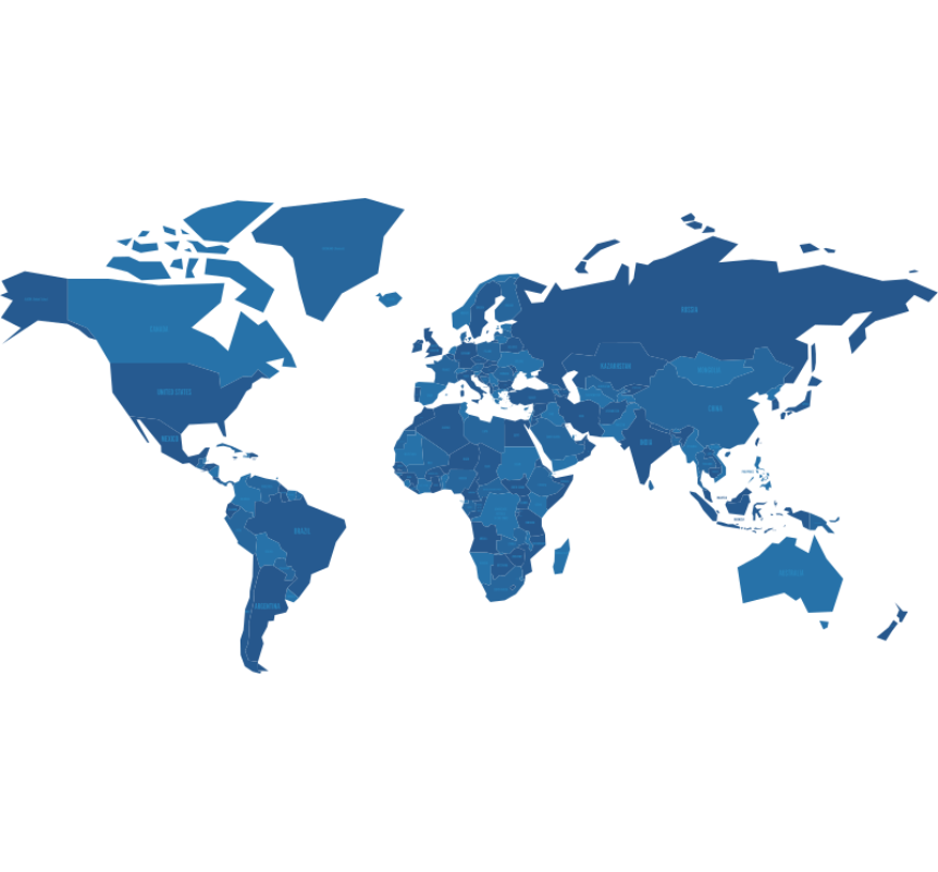
GLOBAL
Global City-Country Dimension
From Sonra
A global list of continents, countries, and cities for multi-level analysis, location and relational information.

Data Overview
Global list of continents, countries, and cities Dimension hierarchy: Continent > Country > City (city, town, settlement) All the planet’s countries, cities, towns and settlements are included.
Use Cases
Understand relationships, such as cities within countries within continents Gain additional information about a location, such as population, currency, language, or timezone. Allows for multi-level analysis, from a global or continental view down to individual countries and cities or towns
Documentation
We have put together a comprehensive documentation which includes a description of all of the tables and columns in the data set,and sample queries,
You can view the documentation here:
Tables
CORE TABLES
——————–
V_CITY
V_COUNTRY
Attribution
Geographical data by Geonames
https://www.geonames.org/ is licensed under Creative Commons Attribution 4.0 License
Cloud Region Availability
US West (Oregon)
Canada (Central)
US East (N. Virginia)
US East (Ohio)
Asia Pacific (Mumbai)
Asia Pacific (Osaka)
Asia Pacific (Seoul)
Asia Pacific (Singapore)
Asia Pacific (Sydney)
Asia Pacific (Tokyo)
EU (Frankfurt)
EU (Ireland)
EU (London)
EU (Stockholm)
South America (São Paulo)
Canada Central (Toronto)
Central US (Iowa)
East US 2 (Virginia)
South Central US (Texas)
West US 2 (Washington)
Central India (Pune)
Japan East (Tokyo, Saitama)
Southeast Asia (Singapore)
UAE North (Dubai)
North Europe (Ireland)
Switzerland North (Zurich)
UK South (London)
West Europe (Netherlands)
US Central 1 (Iowa)
US East 4 (N. Virginia)
Europe West 2 (London)
Europe West 4 (Netherlands)
Category
Geospatial
Refreshes
Monthly
Access
Paid (Trial available)
Geographic Coverage
Global (by City)

