What is a geohash and how is it used? We break it down here.
What is a Geohash?
Geohashing is a geocoding system that encodes geographic coordinates (latitude and longitude) into a short and compact string of characters.
Think of it like a secret code for locations on Earth – a short and easy-to-understand code. It turns a place’s latitude and longitude, which are like its coordinates on a big map, into a simple code.
Imagine you want to tell someone exactly where you are in the world.
Instead of saying, “I’m at latitude 40.7128 degrees North and longitude 74.0060 degrees West,” you can say, “I’m at 6gkzwgjz.”
This shorter code still tells them exactly where you are but is much easier to share or remember.
In a nutshell, a geohash is a clever way to turn complex latitude and longitude coordinates into simple codes that make it easier to talk about places and share location information.
This is also what makes geohash a versatile tool, making it easier to work with location-based data and services in a wide range of industries and applications.
How Does Geohash Work?
The main concept behind Geohash is to divide the world into a grid of rectangles and then represent each of these rectangles with a unique code. This code becomes shorter as you zoom out to cover larger areas and gets longer as you zoom in for more precision.
Here’s a technical explanation of how Geohash works:
- Dividing the world into rectangles
Geohash starts by dividing the Earth into a grid of rectangles. The whole Earth is initially represented by one big rectangle. - Choosing a binary representation
Each rectangle is further divided into smaller rectangles. Geohash uses a binary search approach to determine which half of a rectangle contains a given point.
It assigns a binary digit of 1 for the upper half of the rectangle and 0 for the lower half. - Building the geohash string
– Starting with the whole Earth as one big rectangle, geohash determines whether a point falls into the top or bottom half (binary digit 1 or 0) and appends that digit to the geohash string.
– The Earth is then divided into the top or bottom half based on the chosen digit.
– This process is repeated iteratively until you have the desired level of precision or length in the geohash string. - Precision and length of the geohash
– The length of the geohash string determines the level of precision: A shorter geohash represents a larger area, while a longer geohash represents a smaller and more precise area.
– For example, a geohash of length 5 might represent a region the size of a city, while a geohash of length 10 could pinpoint a location within a few meters. - Encoding characters
– To enable the geohash string to be more easily read by humans and generally be more user-friendly, it translates the binary digits into a set of characters. Geohash typically uses a character set of 32 characters: 0-9 and the letters a through z (excluding i, l, o). - Final geohash
– The result is a geohash string that represents a specific geographic location. This string is both compact and can be easily shared or stored.
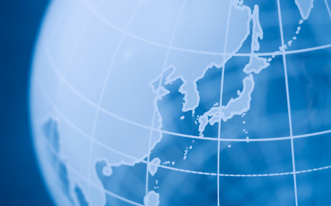
What Does Geohash look like?
Geohash divides the world into a grid of rectangles, as indicated in this portion of the world map.

Source: Geohash Explorer
Real Estate Applications of Geohash
There are many practical applications for geohash across a broad range of industries.
Here we’ve narrowed down these examples to real-estate uses for geohash:
- Location-based searches: Geohash is used in location-based search engines and applications, showing nearby points of interest, businesses, or places based on their current location or a specified area.
- Geofencing: Geohash is employed to create geofences, or virtual boundaries, which can be used for triggering actions or alerts when a device or user enters or exits a specific geographic area, such as location-based marketing, asset tracking, and security applications.
- Mapping and cartography: Geohash is used in cartography to represent geographic data efficiently. It can simplify the storage and retrieval of spatial information in mapping systems.
These are just a few examples, and the applications of geohash continue to expand as location-based data becomes increasingly important across various domains.
The simplified representation of geographic coordinates makes geohash more accessible and user-friendly, which is why it is such a versatile geocoding system with a wide range of uses in real-estate and beyond.